Good Morning! I've got "When Employee Performance Takes a Nose-Dive" training this morning. This kind of training is often extremely useful even if it is a refresher. If your organization offers courses like this you should take advantage of them. I hope I pick up some new tips!
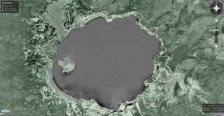
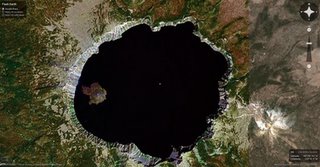
I've got a special treat today for all of you flash programmers. Flash Earth is a smoother version of Google Maps (on the bottom) and Microsoft Networks Virtual Earth (on the top) using Flash. As Paul Neave says "though I adore the smell of old ink and BO stained paper (old atlases), I wanted to make a digital map of the World". You get a sense of location because you can zoom in and out without the display being recreated. And you can rotate the map, something almost impossible to do using HTML and JavaScript (or AJAX if you know your web jargon), but easy with Flash. You can also link to a location anywhere. Check it out at http://www.flashearth.com/.


No comments:
Post a Comment