 Howdy! I've got a meeting today to review work done by a consultant on our stormwater infrastructure. I'm curious to see how it is coming along.
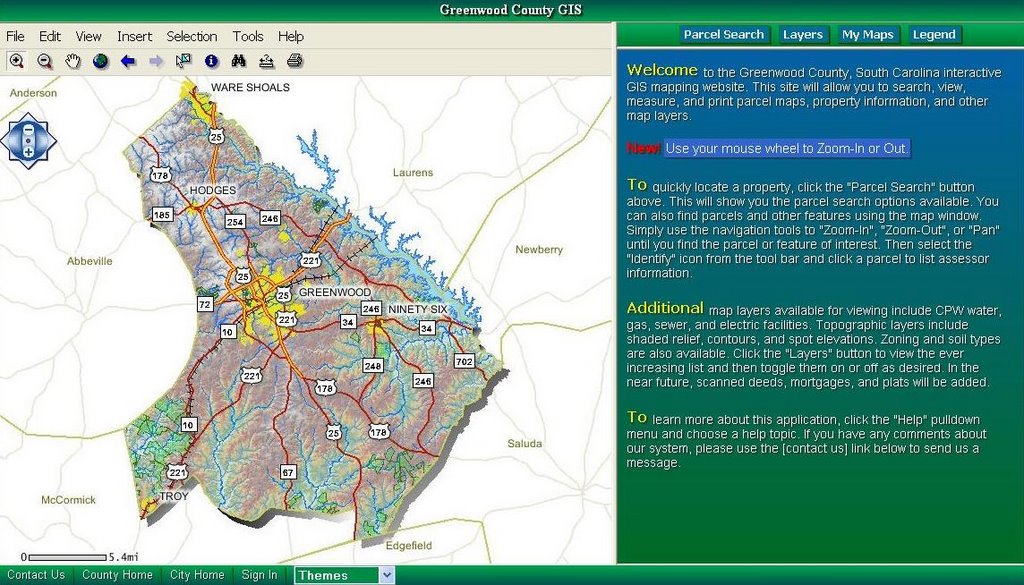
 The Greenwood County, South Carolina ArcIMS site is one of the best I have found. The site was developed using Microsoft VB.Net 2005 and ESRI ArcIMS. "The site will allow you to search, view, measure, and print parcel maps, property information, and other map layers." They just added the ability to use your mouse wheel to Zoom-In or Out. Another cool feature is that they save the last extents that you view as images that you can then click on to go back to where you were. The site also has a dynamic zoom feature which is great. It has the option to add graphics and text and then select by graphics or attributes. Check it out at http://165.166.39.5/giswebsite/.


1 comment:
I love that they added features like zooming with a mouse wheel, saving last viewed extents as images, and dynamic zoom.
Post a Comment